Precision and accuracy are the foundation of successful projects. Our geomatics expertise ensures clients have the critical data needed to plan, build, and manage with confidence.
Our cutting-edge technology and expertise in spatial data help support sustainable development and informed decision-making across land, water, and air. We use the latest geomatics technology to assess landscapes, monitor marine ecosystems, map underwater terrain, and capture aerial insights.
Our Services
SEM Surveys provides accurate property boundary determination, land division planning, and compliance with regulatory requirements.
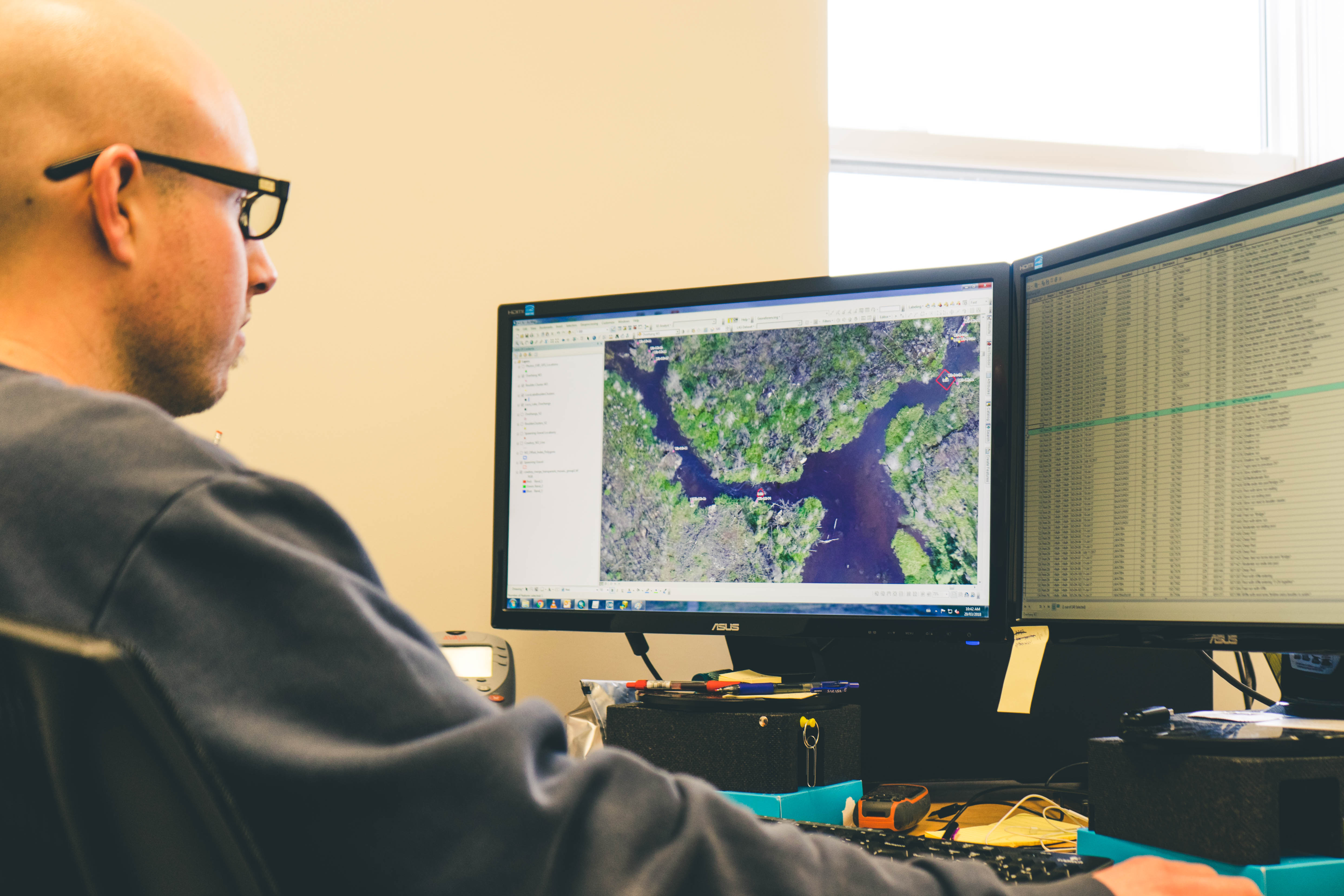
Geographic Information Systems (GIS)
Advanced mapping and spatial analysis to turn data into actionable insights.
Topographic Surveys
Precise land surveying to assess terrain, elevation, and land use for planning and conservation.
Bathymetric Surveys
Detailed underwater mapping to monitor water depths, seabeds, and aquatic ecosystems.
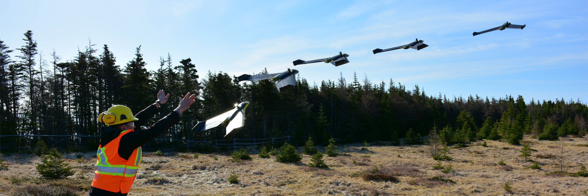
Aerial Surveys & Inspections
Drone and aerial imaging for environmental monitoring, infrastructure assessments, and habitat protection.
Real-Time Data Collection
Instant access to data for proactive monitoring and decision-making.
Photogrammetry & LiDAR
High-precision 3D modeling and mapping.