


For more than 20 years, SEM has monitored the environment across Newfoundland and Labrador. Now we build tools that make that work faster, safer and smarter: a platform for your data, AI models, and smart devices that keep watch when no one is on site.
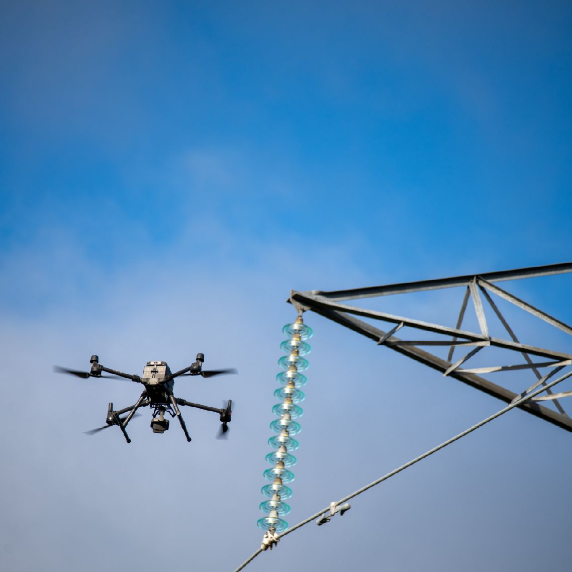

Geospatial Management System
One secure home for your drone imagery, LiDAR scans and site data, with apps for asset inspection and environmental monitoring.
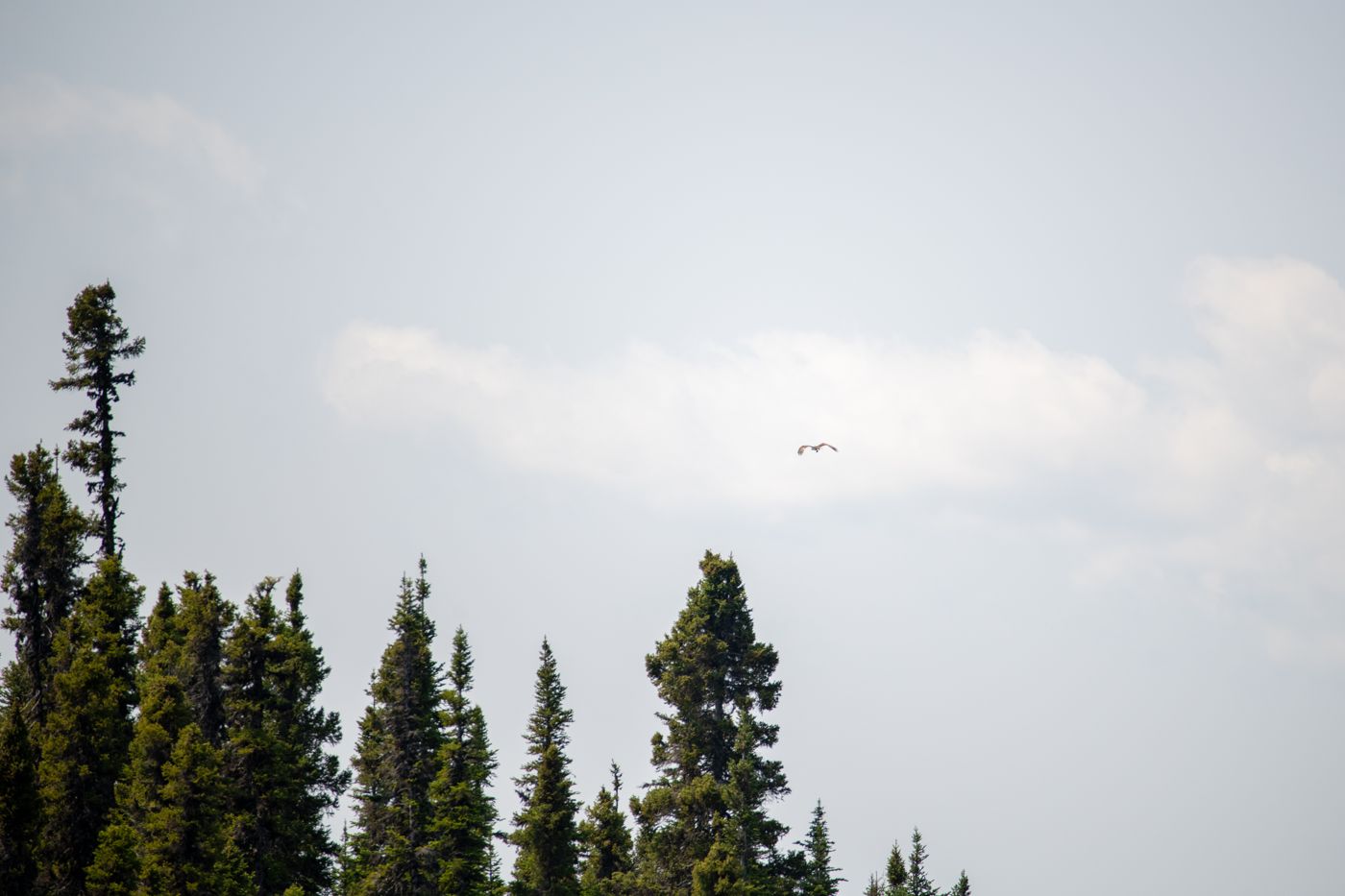
Models for environmental monitoring
Models built on real-world data to predict water quality, recognize wildlife and sort through the data our crews collect.
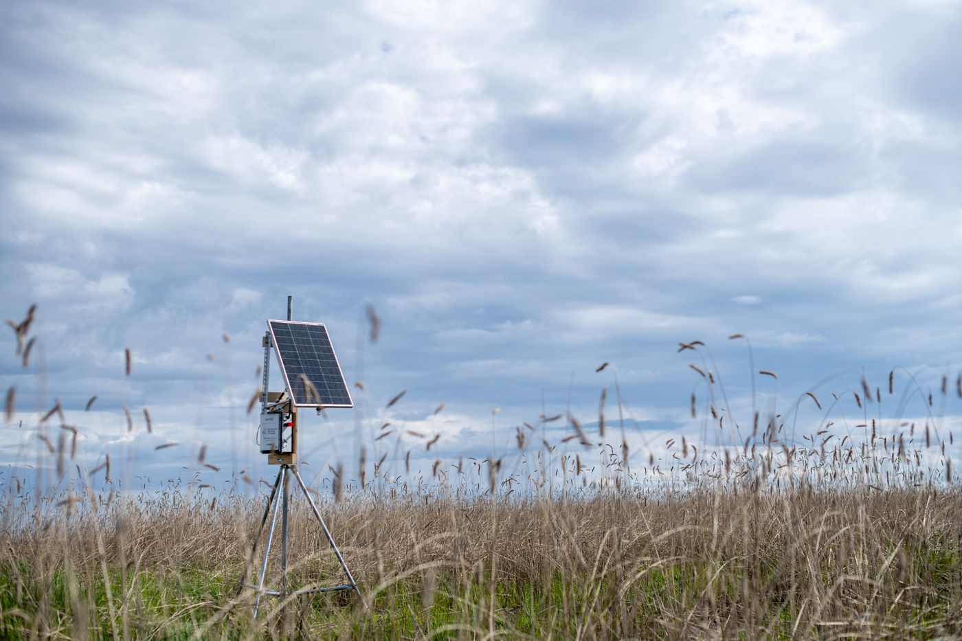
Smart field devices, with onboard AI models.
Solar-powered devices that listen, sense and decide on-site, then send only what matters. No waiting weeks to collect a memory card.
Secure by design, with options to keep sensitive data in Canada and in-house.
Our teams shape and validate every tool: biologists, developers, geomatics technologists and more.
Tested on site in The Big Land, not just in a lab.
